Why High-Resolution Imagery Satellite Solutions for Mapping Are Essential for Smart Cities
By 2050, 68% of the global population will live in cities, according to the United Nations. Urban centers are expanding, and city planners can no longer rely on static surveys updated every few years. When a new massive housing district is built, local governments must know exactly how it impacts the existing power grid and water supply right now.
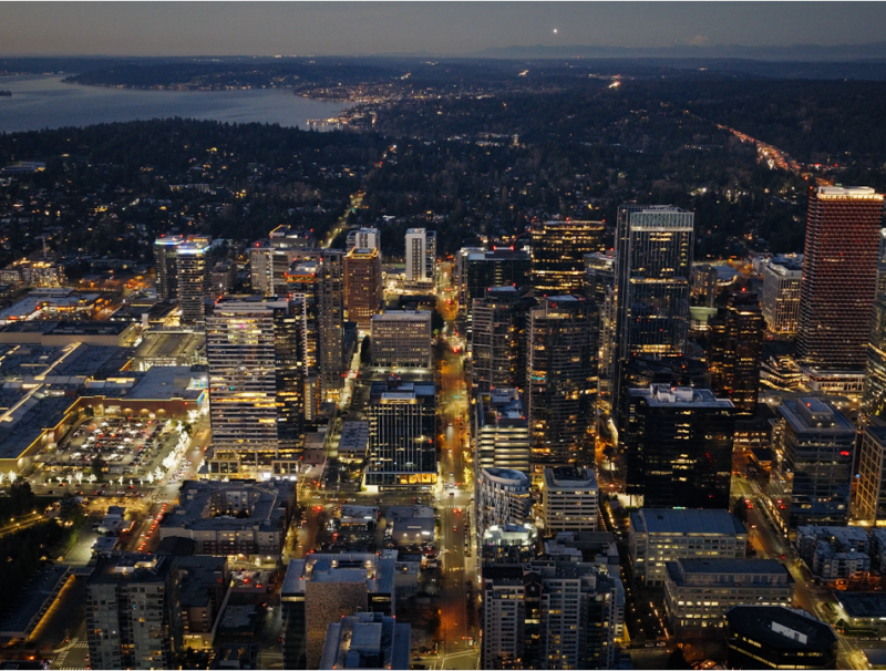
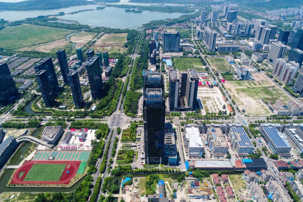
Today, urban developers take processed data from high-resolution imagery satellite solutions for mapping traffic bottlenecks and monitoring zoning compliance with sub-meter accuracy. In complex urban environments, an up-to-date spatial layout isn’t just a convenient tech upgrade. It is the foundational bedrock required to keep a smart city breathing, moving, and developing.
Precision in Urban Expansion and Smart Infrastructure Planning
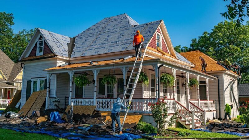
If you want to build a smart city, you cannot rely on slow data and traditional land surveying. It can take weeks to gather the necessary data through on-foot inspections or drone imagery. Moreover, it is not financially efficient. By the time topographical data finally reaches a city planner, the physical site has already changed.
High-resolution satellite mapping has changed the game. Today, urban planners use near-real-time satellite imagery to monitor large areas of land continuously. They use these updated visuals for three critical tasks:
- Verifying zoning boundaries to ensure that new developments stay exactly where they belong and do not violate the borders of protected or residential areas.
- Optimizing utility placement to map out the safest, most efficient routes for new water lines, power grids, and broadband cables without striking existing infrastructure.
- Monitoring construction progress to watch massive urban projects take shape week by week from space, keeping contractors honest and on schedule.
Instead of waiting months for manual site assessments, functionaries get immediate spatial information. In fact, transitioning to automated satellite analysis to build and update urban databases can reduce municipal surveying costs by 50% to 70% compared to traditional on-the-ground methods.
Dynamic Traffic Management and Predictive Urban Management
Every single day, urban congestion costs the global economy an estimated $1 trillion in lost productivity. When urban planners try to solve this issue with yesterday’s traffic data, they are driving blindfolded. But with real-time satellite images, transportation departments finally see the entire board. They instantly spot how a highway lane closure is forcing commercial freight onto quiet residential streets, or how a downtown festival is crippling public transit routes.
Integrating IoT and AI
Of course, a smart city does not rely on visuals alone. Satellite imagery is a resource for IoT sensors and artificial intelligence to build powerful predictive models. This is how it works:
- A smart street light detects exactly how many cars are standing at a specific crossroad.
- Then, the AI instantly compares that data with satellite feeds on the main highway.
- The system can then autonomously adjust traffic light pacing across a ten-block radius and reroute connected vehicles.
This approach allows urban management systems to prevent traffic jams from paralyzing the grid.
Driving Sustainability and Environmental Resource Management
Concrete and asphalt catch heat, turning growing cities into massive urban heat islands. In summer, neighborhoods with thin tree canopies suffer too much. City planners are finally tackling this dangerous imbalance, and they aren’t doing it by driving around looking for empty sidewalks. They use orbital data to map surface temperatures block by block and deploy critical resources, such as water and electricity, exactly where they have the greatest impact.
Targeted green space optimization isn’t just about making a city look pretty. It directly influences public health and energy conservation. In fact, using Earth observation data is now recognized as a critical tool for strategic tree placement to reduce the cooling demands of nearby buildings.
Conclusion
Today, managing on-Earth operations without a real-time satellite view is ineffective. Luckily, satellite technologies have become more democratized, allowing urban planners and conservationists to access high-resolution mapping right on their smartphone screens. Some issues that were considered impossible to solve a decade ago, like a city blocked by a massive traffic grid, can be fixed in a matter of hours. Whether it’s laying down miles of new water lines or cooling down asphalt neighborhoods, it is possible due to satellite imagery. With the right spatial data, the future of city planning isn’t just manageable, it’s unstoppable.